Right Playground › Orlando › Central Winds Park Lower Fields
Central Winds Park Lower Fields 4.7★ · 20 Google ratings · Winter Springs, Florida
✓ Restrooms✓ Step-free
At a glance
Restrooms
Yes · often seasonalFrom the official listing
Access
Step-free entrance From the official listing
Only shown when the evidence clears our bar — how we know this .
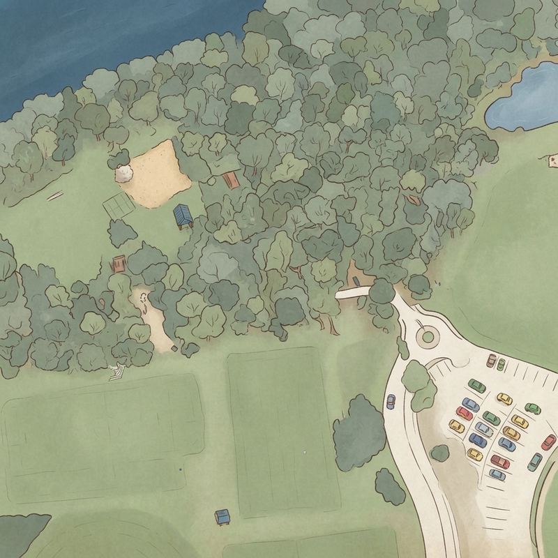
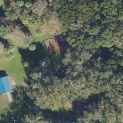
Map of Central Winds Park Lower Fields
25 m
USGS NAIP 2022 · play area © OpenStreetMap
Play area outlined in green (OpenStreetMap); ground is public-domain federal aerial photography. USGS NAIP 2022. Guide
Good to know Good for a picnic
Picnic facilities on site — room to sit and eat near the play area.
Official listing
Best for older children
The playground equipment is notably suited to older kids rather than toddlers.
Spacious for group activities
Volleyball courts, basketball courts, and large grass fields make this ideal for team sports or family gatherings.
Bring a picnic lunch
Tables and restrooms are available, making it convenient for a full afternoon outing.
Enter lake trails cautiously
Trails lead to the lake but carry inherent risks related to the natural environment.
Watch for alligators near water
Multiple reviewers spotted gators in Lake Jessup, including mothers protecting hatchlings.
Distilled from 20 visitor reviews. We count and rephrase — review text is never republished.
Practical
Plan your visit 📍 Winter Springs, FL 32708
Nearby
Nearby playgrounds Questions
Parent FAQs Does Central Winds Park Lower Fields have restrooms? Yes — public restrooms are on the official Google listing. Park restrooms are often seasonal, so check before a winter visit.
Contribute
Been here recently? Help other parents with fresh information about Central Winds Park Lower Fields. Everything below is optional except the last box.
Contributions are reviewed before appearing on Right Playground. We never publish your email address.
More Orlando playground lists How we know this. Place details from the public Google business listing; facilities inferred from 20 visitor reviews; amenity positions from OpenStreetMap; aerial imagery from USGS (2022). Attributes appear only when the evidence clears our confidence bar, and review text is never republished. The unedited aerial shows tree cover — our second check on shade. Read the method · Report a mistake