Right Playground › San Antonio › Friesenhahn Memorial Pavillion
Friesenhahn Memorial Pavillion
3.5★ · 2 Google ratings · Schertz, Texas
What visitors report about Friesenhahn Memorial Pavillion
Shown only when the evidence clears our bar. How we know this.
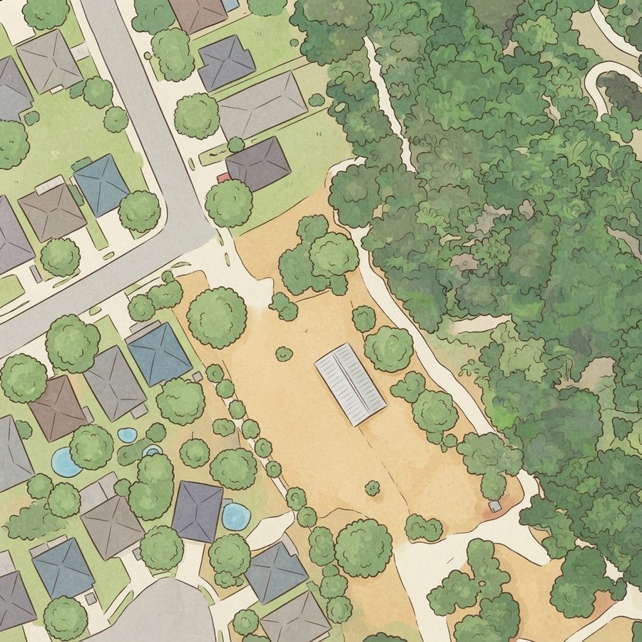
Map of Friesenhahn Memorial Pavillion
Good to know
When it gets busy
Visit patterns are fairly even through the week.
| 8a | 9a | 10a | 11a | 12p | 1p | 2p | 3p | 4p | 5p | 6p | 7p | |
|---|---|---|---|---|---|---|---|---|---|---|---|---|
| Mo | ||||||||||||
| Tu | ||||||||||||
| We | ||||||||||||
| Th | ||||||||||||
| Fr | ||||||||||||
| Sa | ||||||||||||
| Su |
From Google visit patterns, 8am to 7pm.
Plan your visit
Nearby playgrounds
Parent FAQs
Does Friesenhahn Memorial Pavillion have restrooms?
When is Friesenhahn Memorial Pavillion least busy?
Other lists this one is on
Been here recently?
Help other parents with fresh information about Friesenhahn Memorial Pavillion. Everything below is optional except the last box.
Contributions are reviewed before appearing on Right Playground. We never publish your email address.
How we know this. Place details from the public Google business listing; facilities inferred from 0 visitor reviews; playground outlines and amenity positions from OpenStreetMap (ODbL), which is also what the size is measured on; aerial imagery from USGS (2022). Attributes appear only when the evidence clears our confidence bar, and review text is never republished. The unedited aerial shows tree cover, which is our second check on shade. Read the method · Report a mistake