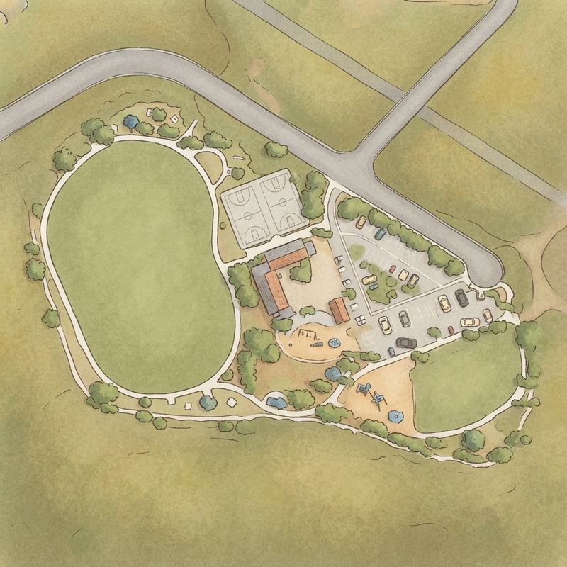
Map of Hilltop Community Park and Recreation Center
1
2
3
4
5
6
7
1Play area (2 on site)2Restroomsabout 150 ft from the play area3Parkingabout 250 ft from the play area4Picnic tables (10 on site)5Covered shelterabout 100 ft from the play area6Drinking fountainabout 100 ft from the play area7BBQ grillabout 200 ft from the play area
Drawn from aerial imagery, showing the real layout.
Guide
Good to know
Good for a picnic
Picnic facilities on site, with room to sit and eat near the play area.
Official listing
Works well for younger kids
Visitors report equipment suited to under-5s.
Mentioned by 6 visitors · 2017–2026
Best for weekday visits
Weekdays see minimal crowds even during school hours, while weekends and holidays fill up with birthday parties and family gatherings.
Ideal for kite flying
The large open grassy field and hilltop location create consistent wind, making this a standout spot for kites.
Excellent for sunset visits
Clear day views stretch to the ocean, and the hilltop elevation offers panoramic sunset views across San Diego.
Little shade reported
Bring sun cover on bright days.
Based on visitor reports · 2017–2026
Arrive early for parking
The lot fills quickly on busy days, though street parking is readily available adjacent to the main parking area.
Watch for limited shade
The hilltop location provides minimal tree coverage, though covered pavilions and gazebos are scattered throughout for relief on hot days.
Distilled from 100 visitor reviews.
Crowds
When it gets busy
Weekday mornings are generally quiet; weekend afternoons get busiest.
Help other parents with fresh information about Hilltop Community Park and Recreation Center. Everything below is optional except the last box.
Contributions are reviewed before appearing on Right Playground. We never publish your email address.
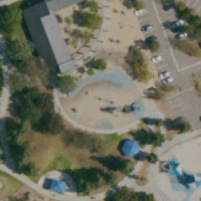
How we know this. Place details from the public Google business listing; facilities inferred from 100 visitor reviews; playground outlines and amenity positions from OpenStreetMap (ODbL), which is also what the size is measured on; aerial imagery from USGS (2022). Attributes appear only when the evidence clears our confidence bar, and review text is never republished. The unedited aerial shows tree cover, which is our second check on shade. Read the method · Report a mistake