RightPlayground

Right Playground › Denver › Longs Peak Park

Longs Peak Park

4.6★ · 74 Google ratings · Erie, Colorado

Open in Google MapsSee it in Google EarthOfficial page
✓ Restrooms✓ Step-free
At a glance

What visitors report about Longs Peak Park

Restrooms
Yes · often seasonal
Access
Step-free entrance
Size
About 3,300 sq ft · bigger than 36% of the ones we measured

Shown only when the evidence clears our bar. How we know this.

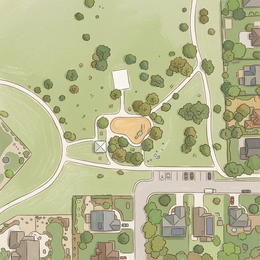
The site plan

Map of Longs Peak Park

Illustrated map of Longs Peak Park
Drawn from aerial imagery, showing the real layout.
Guide

Good to know

Good for a picnic
Picnic facilities on site, with room to sit and eat near the play area.
Official listing
Great for soccer and field sports
The large open grassy areas suit team practice and pickup games, with a paved perimeter trail for walking.
Excellent mountain views
The open, exposed setting provides clear views of the Rockies and Front Range.
Suitable for ages 3 and up
The playground has multiple pieces of equipment and a newer structure appealing to various skill levels.
Arrive early for parking
The lot has only five spots, though off-street parking is available on nearby residential streets.
Bring your own water
The park currently lacks water fountains and public restrooms, though a port-a-potty may be available.

Distilled from 39 visitor reviews.

Practical

Plan your visit

📍 311 Wheat Berry Dr, Erie, CO 80516
Open in Google Maps · Google Earth · Official page
Nearby

Nearby playgrounds

0.5 miles away · Better for toddlers
0.6 miles away · More shade
Questions

Parent FAQs

Does Longs Peak Park have restrooms?
Yes. Public restrooms are on the official Google listing. Park restrooms are often seasonal, so check before a winter visit.
More in Denver

Other lists this one is on

Contribute

Been here recently?

Help other parents with fresh information about Longs Peak Park. Everything below is optional except the last box.

Contributions are reviewed before appearing on Right Playground. We never publish your email address.

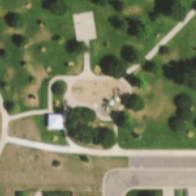
Aerial photo of Longs Peak Park

How we know this. Place details from the public Google business listing; facilities inferred from 39 visitor reviews; playground outlines and amenity positions from OpenStreetMap (ODbL), which is also what the size is measured on; aerial imagery from USGS (2019). Attributes appear only when the evidence clears our confidence bar, and review text is never republished. The unedited aerial shows tree cover, which is our second check on shade. Read the method · Report a mistake